

Canada North Environmental Services
Geomatics Services
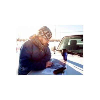
Production of high quality maps using expert software. Interpretation and analyses of project-specific geographic data sets. Habitat modelling and spatial analysis. Ecological classifications derived from remotely-sensed images. Creation of specialized maps to meet clients’ diverse needs.
Most popular related searches