

- Home
- Companies
- Atkins - SNC-Lavalin
- Services
- Geospatial Engineering
Geospatial Engineering
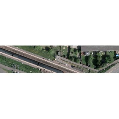
Efficient management of geospatial information is fundamental to the success of projects right across the private and public sectors; underpinning a wide range of activities, from sustainable development, conservation and environmental monitoring to infrastructure planning and implementation or asset management. Never before has there been such an awareness of the dynamic nature of our world, and the challenges that face us in establishing a sustainable future for the generations to come. Whether it be visually arresting imagery available from satellite, or detailed technical data gathered by mobile GIS from the ground, the key to solving many of the problems our client’s face, lies in unlocking the potential to turn these data into meaningful, useful information to inform the decision-making process.
We design and develop geographical information applications and software solutions to help our clients to make the most of their spatial data, and enable our clients to realise the full benefits of GIS through our professional advice, support, management, and maintenance services.
Our services encompass the entire data lifecycle. We capture data from satellite imagery and aerial photography, digitise information from existing maps and plans, and collect data in the field. We manage the data, conduct data processing and informed analysis, and map or model the data to create two-dimensional and three dimensional visualisations.