
WKC Group
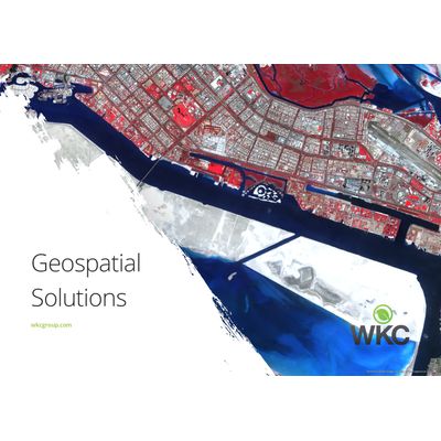
Geospatial Solutions
FromWKC Group
WKC Group has extensive experience in the deployment of the latest geospatial technologies. Most popular related searches
geospatial solution
remote sensing software
remote sensing
geospatial
geospatial technology
habitat mapping
geospatial modeling
geostatistical analysis
environmental consulting
geospatial data management
Our Geospatial Solutions Includes:
- Mapping
- Terrestrial and Marine Remote Sensing
- GPS Survey
- Geospatial Modelling
- Data Management
- Training
From the use of satellites to drones, global positioning systems (GPS) and rugged field survey tablets, photogrammetry, machine learning and data science, WKC offer a refreshingly modern approach to their environmental consultancy work.
Our past projects have included:
- Spatial and geostatistical analysis
- High quality cartographic output
- Terrestrial and Benthic Habitat mapping
- Satellite derived bathymetry (SDB)
- Spatial ecology
- Master planning
- 3D modelling, analysis and visualisation
- Web based technologies
- Automation of GIS processes
- Implementation of GPS field survey methodology
- Spatial data management, validation, digitisation, cleansing and translation
- Training and support in a range of open source and commercial GIS and remote sensing software