

Ecofish Research Ltd.
- Home
- Companies
- Ecofish Research Ltd.
- Services
- GIS Services
GIS Services
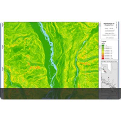
Ecofish provides clients GIS spatial data analysis and mapping support on both ARCGIS and MapInfo software. With spatial analyst capabilities, we conduct sophisticated analyses to identify optimal solutions to land and aquatic management problems.
Most popular related searches
GIS data import
GIS data
ecosystem mapping
terrestrial ecosystem
GIS data analysis
GIS service
conductivity analyzer
conductivity analysis
GIS modeling
watershed modeling
Services Offered include:
- Aquatic and Terrestrial Inventory Mapping
- Habitat Suitability Modeling
- Terrestrial Ecosystem Mapping (TEM)
- GIS Analysis
- Watershed DEM Modeling
- Mobile GIS
- Data Importing and Translation
- Plotting and Cartography