

Hydrographic Survey Services
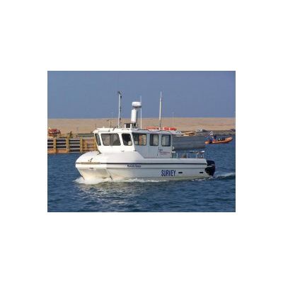
Aspect Land & Hydrographic Surveys` marine survey division offers a wide variety of skills and services, including bathymetric surveys, side-scan sonar imagery, magnetometer surveys, sub-bottom profiling, full geophysical interpretation & analysis and dock wall surveys / investigation. Coupled with our own range of survey vessels, available for separate charter including coxswain, we are able to offer bespoke proposals for any survey requirement anywhere within the UK or Europe. Our philosophy of continual improvement does not end with survey equipment and practices, we also recognise the importance of high quality, professional reporting and continue to be at the forefront of innovative data gathering and post-processing methods and modern electronic reporting techniques.
Our capabilities include single or multibeam echosounder bathymetry to provide the client`s required resolution in either 2D paper or electronic plot or as a 3D model, be that a fly through for presentation purposes or conventional models to allow engineering development or scientific interpretation. Our bathymetric data can be overlain with geo-referenced sonar backscatter imagery either from side-scan or Multibeam echosounder. Full, high-resolution multibeam bathymetry products can include a variety of digital files for ingestion in other modelling or design software, paper products including detailed bathymetry, colour-banded contours, geomorphological assessment and underwater target detection and classification. Products, either paper or digital include dimension details and 3D positional coordinates to the clients preferred horizontal and vertical datum including National Grid or WGS84 / UTM systems, narrated underwater diver inspection videos, bound copy reporting and hard copy digitally coloured plans up to A0 plot size.