
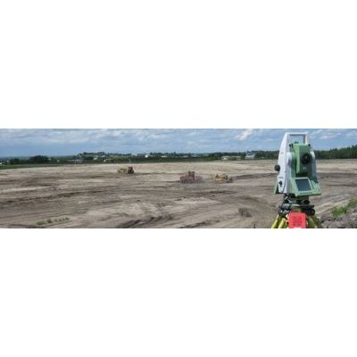
Land Surveying and Geomatics Service
Morrison Hershfield supplies clients with a full range of land development services. With the in-house land surveying expertise provided through Morrison Hershfield Geomatics Ltd., we offer improved project efficiency through enhanced communication and the seamless transfer of data, reducing risk, time and cost for our clients. Our comprehensive land surveying and geomatics services give clients access to integrated engineering solutions for the economic, safety, security and environmental issues facing today’s businesses. Morrison Hershfield Geomatics Ltd. is licensed to conduct legal surveys in Alberta and Canada Lands (roughly defined as National Parks, Native Reserves, Offshore and the Territories.)
- Municipal and land development surveys
- Municipal applications/approvals
- Subdivision surveys
- Boundary surveys, site surveys and topographic surveys
- Oilfield, pipeline and well site surveys
- Deformation monitoring
- Underground utility mapping
- Road surveys
- Rights-of-way
- Land titles registrations and consolidations
- Water boundaries
- Lease Space Certificates (BOMA)
- Public lands dispositions
- Property law
Spatial data services offered include, but are not limited to: coordinating and mapping projection conversions, acquiring/quality control (QC) / quality assurance (QA) on remote sensed data (like DEM or Digital Elevation Model, photogrammetry, LiDAR, air photos), QA on contractor’s work, and subsurface utility mapping.