

Operational Monitoring Services
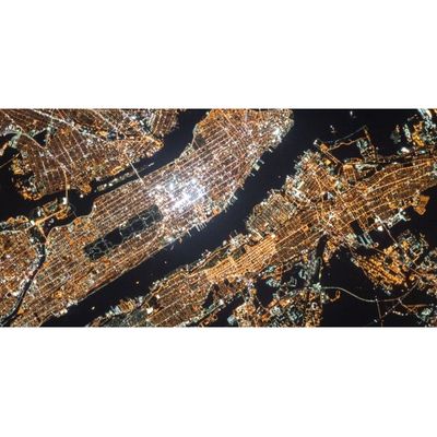
From a series of satellite images, you can get an understanding of even the smallest evolutions in the landscape within a specific area, in respect of both natural processes and human activities.
Near real time analysis of dynamic processes
Monitor and measure any change in the landscape – of human or natural origin – at regular intervals: GIM`s Earth Observation services can derive specific and relevant geodata from successive satellite images at the highest resolution, and all in near real time.
A customized time series
In addition to monitoring based on satellite imagery, GIM can also efficiently develop powerful metrics related to your points of interest. What you get is timely access to the results of in-depth spatial and geostatistical analyses which will not only support your management, planning and logistical decisions but also enable you to make detailed forecasts or carry out risk assessments relating to your activities. A few of the possible areas of focus are listed below:
- the progress of road and infrastructure construction or any other activity;
- the evolution of specific landscape features in agricultural areas or the effects of activities impacting the environment (such as deforestation or the development of mining activities);
- all kinds of demographical evolution (such as urban sprawl or densification or rural areas).