Browse all
Channels
Services
Companies
Products
Services
Software
Training
Applications
Sign in
List your business
Advertising options
Lidar America Inc.
About
Solutions
Publications
Home
Companies
Lidar America Inc.
Services
Planimetry
Planimetry
From
Lidar America Inc.
SHARE
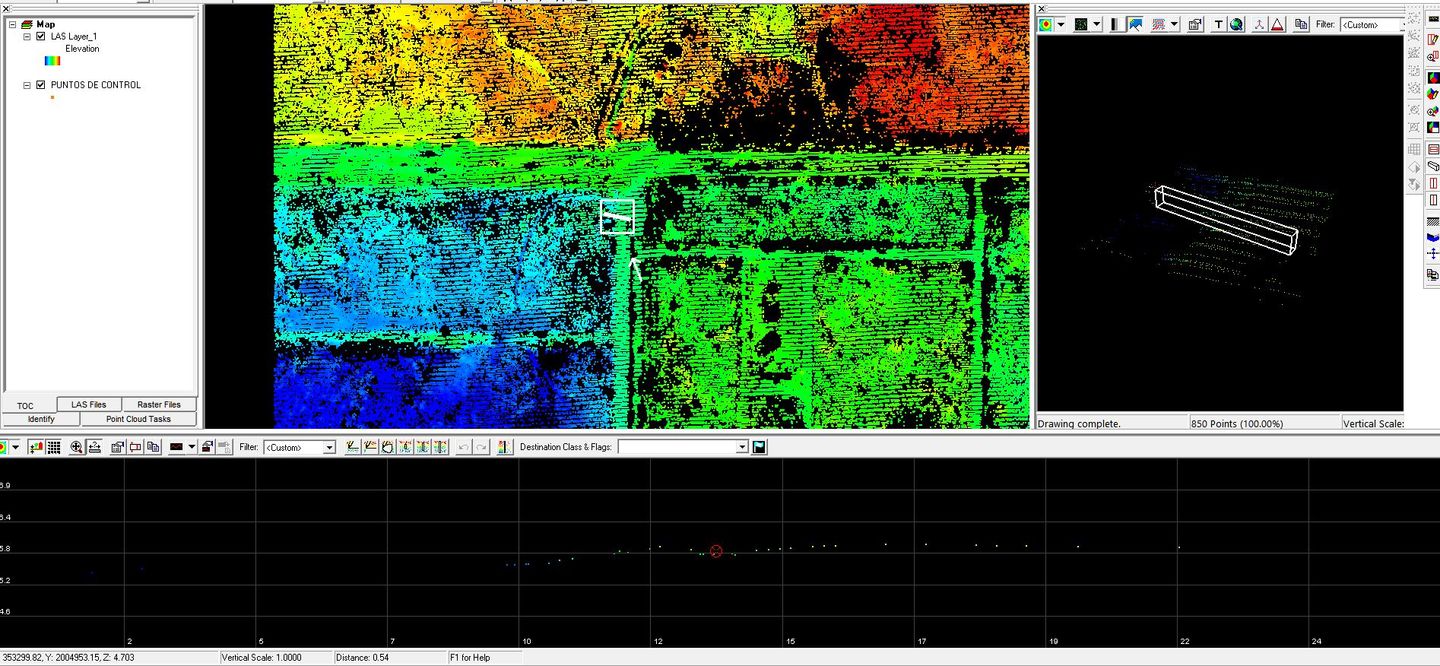
Using a blueprint, we're able to define all the unique elements of the terrain as the different heights and contours of the land. We utilize airborne lidar fused with topographical surveys.
Most popular related searches
airborne LiDAR
airborne LiDAR survey
LiDAR
LiDAR survey