
Research Planning, Inc.
Resource Mapping Services
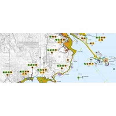
RPI has an exceptional track record in scientific application of mapping technologies for coastal and natural resource mapping. Having pioneered the use of GIS in sensitivity mapping nearly 25 years ago, we strive to remain on the leading edge with the use of advanced mapping technologies for natural resource mapping.
Most popular related searches