

DeepOcean
Seabed Mapping Service
FromDeepOcean
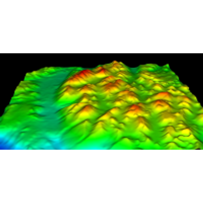
Towed Side Scan Sonar or Multibeam are predominantly used to obtain the data required to produce high quality Digital Terrain Models (DTM`s). This type of survey would be undertaken as part of a Route Survey which is necessary for the planning of pipeline installations. This type of survey enables the topography of the seafloor to be examined for wrecks, manmade artifacts, debris and other points of interest. This ensures that pipes and cables are not laid in potentially hazardous areas. The composition of the seabed can also be determined for burial and trenching evaluation.