

LACO Associates
Surveying Service
FromLACO Associates
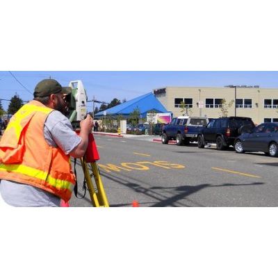
LACO’s Surveying and Mapping Department has the capacity to efficiently complete a wide variety of projects from small, one-lot residential boundary surveys to larger subdivision and land development projects. We own and utilize a Leica Robotic Total Station and Topcon RTK GPS equipment. Our drafters provide mapping products using the data collected by our surveyors, as well as the designs generated by our engineers. We also provide GIS services including LIDAR data analysis and modeling. The seamless integration between our data collection process and mapping production allows for professional, economical deliverables.
Most popular related searches
robotic total station
land surveying
LiDAR data
GIS service
land development
LiDAR analysis
scaling control
GIS data analysis
process data acquisition
LiDAR
Our Survey personnel are experienced in:
- Large scale GPS control
- Aerial photo control
- Construction staking and site layout
- Boundary, topographic, and utility surveys
- Subdivisions
- Tentative and final maps
- Federal Land Surveys (Certified Federal Surveyor – CFedS)
LACO’s Mapping staff is highly trained in their use of:
- AutoCAD Civil 3D
- ArcGIS
- Adobe Photoshop and Illustrator