
- Home
- Companies
- Wildlife Drones
- Services
- Wildlife - Thermal Imaging Service
Wildlife - Thermal Imaging Service
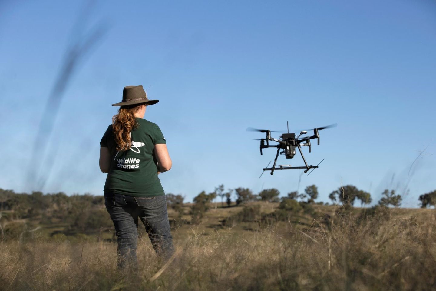
Camouflaged and wary animals can be almost impossible to spot with the naked eye. Our solution? Thermal imaging drones.
Offering the most efficient method of locating animals, our thermal imaging drone surveys are highly effective and work over any terrain.
Our assistance doesn’t stop once the data is collected, we make sure you understand your data and what it means in our easy-to-read survey reports.
Seeing is believing
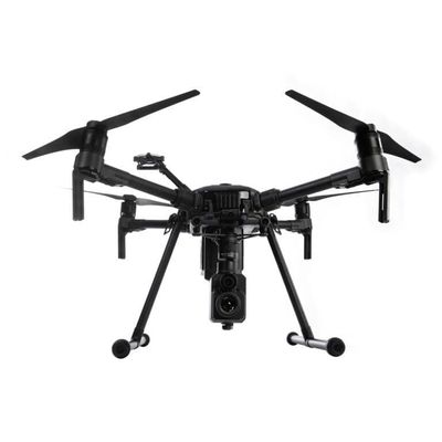
Unlike visual cameras which rely on light, thermal cameras use heat (aka infrared radiation) to form an image. In a matter of minutes, our heat-seeking drones can reveal and locate cryptic animals from the air.
Accurate location data
Enhance your ability to find hidden animals across challenging landscapes. Thermal imaging drones can provide real-time feedback to assist on-ground activities, such as capturing, tagging or controlling a target species. Data gained from these thermal wildlife surveys can also help inform environmental impact assessments.
Expert know how
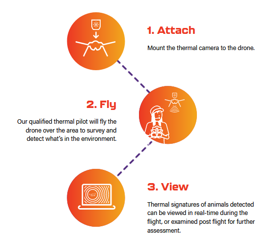
Our expert team are here to help you get the most out of your thermal imaging drone survey. We will pair you with a qualified drone pilot who will help you collect, analyse and report on heat signature data.