

GPR Data LLC
- Home
- Companies
- GPR Data LLC
- Services
- Utility Locating and Mapping Services
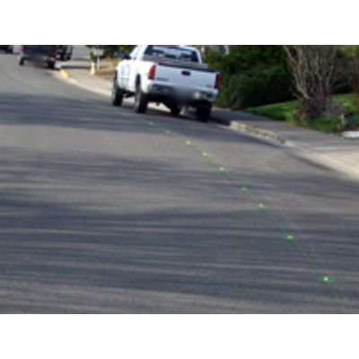
Utility Locating and Mapping Services
FromGPR Data LLC
Detailed investigation of any available records, plans, and maps, Field staking of the exact location of the proposed features in possible conflict with existing utilities, Location of existing buried utilities or any other structures, Non-destructive excavation test hole to expose the utility at all points of possible conflict, Restoration of the test hole and marking of the location utilitizing established utility designating color codes and ASCE Standards of Practice, Formal Report and Inventory, detailing all ground proofs, subsurface features, and utilities found, Station survey of the test hole locations for CADD mapping of project site.
Most popular related searches
utility locating
non-destructive excavation
underground utility
non-destructive testing
mapping service
utility mapping
utility locating service
subsurface locating
- Reports and deliverables are hand tailored to customers` specific needs
- Data is collected three dimensionally on tight grid densities, locating all subsurface features within the survey area
- (x,y) positions, (z) depths, dimensions, and material compositions are recorded and reported
- Data collection is rapid with high resolution accuracy (16 bit at 512 samples per scan)
- Survey plot reports and maps create permanent and up-to-date records
- Field ground proofing provides truth in locations and relative signal velocity depths
- Data is digitized and archived