Variac Systems Pvt Ltd
- Home
- Companies
- Variac Systems Pvt Ltd
- Services
- Variac - GIS Mapping & Geospatial Data ...
Variac - GIS Mapping & Geospatial Data Creation Services
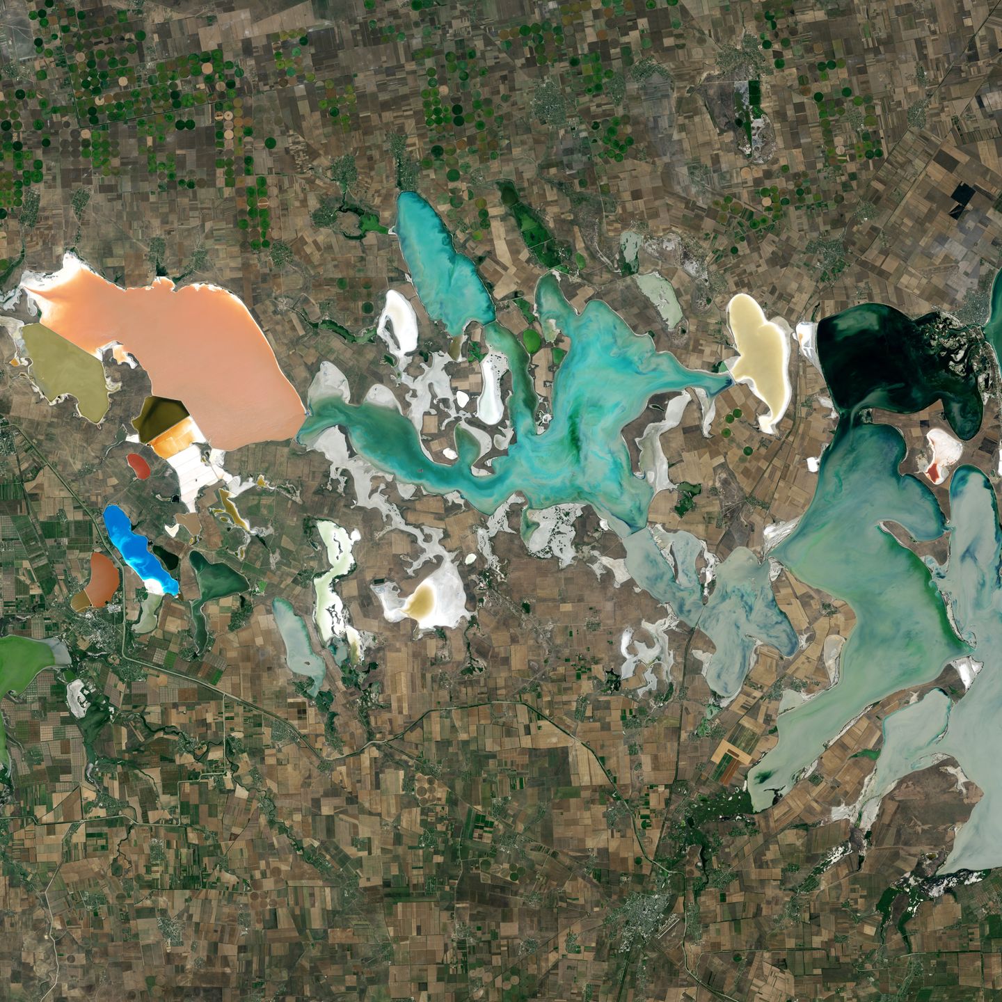
Our GIS expertise have evolved over the years with experience in handling projects across a wide range of industries that include the flood insurance, telecom, power and utilities and environment consultants to name a few.
Most popular related searches
flood insurance
LiDAR data
GIS mapping
geospatial data
GIS data maps
LiDAR mapping
geospatial mapping
geospatial service
utility mapping
LiDAR
Some of them are listed below.
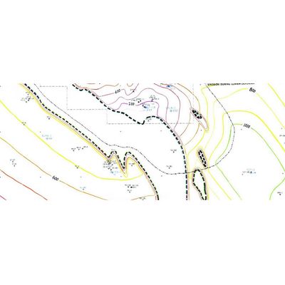
- Processing FEMA maps for the Flood Certification industry
- Geo referencing and data capture from aerial photographs
- Geo coding, attributing and linking databases to generated maps.
- Updating / modifying and customizing map data.
- Data Integration and Data Format Conversion
- Feature extraction and spatial analysis
- Utility/AM-FM Mapping
- LIDAR Data processing
- Cadastral & land base mapping