
- Home
- Companies
- Wildlife Drones
- Services
- Wildlife - Viewshed Analysis Services ...
Wildlife - Viewshed Analysis Services for Project Planning
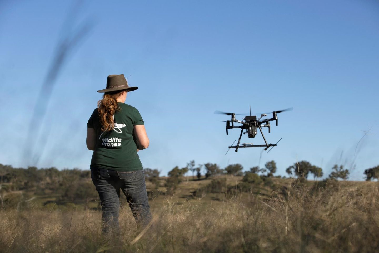
We know how hard it can be to find your tagged animals across vast landscapes – we’ve been there and done that too! So we’d love to help you better understand how you can cover the terrain you need to search with confidence and easily keep track of all your tagged animals. Whether you work in rugged remote mountains, or in low-lying swamps and wetlands, our team can do a viewshed analysis of your sites and map out the survey coverage that is possible using traditional hand-held vs drone-based radio-telemetry.
How to get started
Just send through a kml file of your site boundary, as well as any access tracks or points where a drone can be launched, and we can undertake a viewshed analysis for you, so you can see the survey coverage for yourself. You can then evaluate the benefits of using drone technology at your site, plan flights to maximise survey coverage before you head out into the field and gain confidence when searching for your tagged animals.