

- Home
- Companies
- Providence/Oris - Providence ...
- Software
- AERMOD Wizard Software
AERMOD Wizard Software
This product comes with a one year subscription to unlimited downloads and updates. Within that year, we offer discounted renewal rates at $345 for a single user and $690 for a multi user license. If your subscription expires without renewal, you’ll have to repurchase the product at its full retail price. Don’t worry, though, we’ll remind you when your subscription is drawing to a close.
One year after the initial purchase, an annual maintenance fee is required to receive continued support. A Single User license allows for the installation of this program on one computer. A Multi User license allows for unlimited installations of this program on computers at a single address.
Current Single User license holders may upgrade to a Multi User license by selecting the “Upgrade License to Multi User” option in the dropdown menu.
AERMOD Wizard features a clickable map interface that allows you to quickly and efficiently find and download:
- Surface and upper air meteorological data for US stations
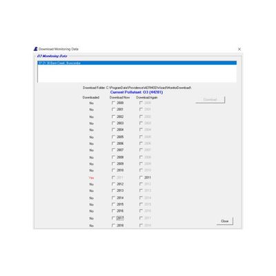
- Ambient monitoring data for criteria pollutants from the EPA AirData system
With the downloaded meteorological data, you can call and run AERMET and AERMINUTE to process raw data into an AERMOD-ready format.
With the ambient monitoring data, AERMOD Wizard can create an AERMOD-ready background data file that can be built using any of the temporal modes in AERMOD.
If you’re conducting Tier 3 NO2 modeling with the AERMOD’s OLM or PVMRM algorithms, AERMOD Wizard can construct an hourly ozone file for you. AERMOD Wizard also includes routines for statistical evaluation of the raw data, such as maxima, minima, missing hours of data (by quarter), etc.
Other data analysis tools include the wind rose, pollutant rose, and forward/backward trajectory tools. Wind rose, pollutant rose, and forward/backward trajectories can all be exported to Google Earth. The trajectory tool can also plot the trajectories on AERMOD Wizard’s map interface or write a text file of all trajectory points.
- Display source locations
- Display the location of met stations and monitoring sites
- Display Class I areas and calculate Q/D for nearby Class I areas
- Select a surface met station and download data
- Select an upper air station and download data
- Select a monitoring site and download data
- Process met data with AERMET and AERMINUTE
- Display a wind rose of the surface data
- Calculate a forward or backward trajectory for a specific time period
- Export a forward or backward trajectory to Google Earth
- Calculate percentage of missing data
- Calculate temporally varying values
- Fill missing ozone hours
- Save data in an AERMOD compatible file format
- Display a pollutant rose