

Esri
ArcGIS for Maritime
FromEsri
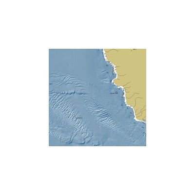
ArcGIS for Maritime is part of the ArcGIS system to solve problems and gain efficiencies for ocean, marine, hydrographic, and related business. It enables organizations to manage data, products, services, workflows, and quality. The system enables efficiency for interacting with large volumes of maritime related information, products, and integrated workflows to create data, charts, seafloor models, and conduct spatial analysis in compliance with industry and organizational standards and requirements.
Most popular related searches
ArcGIS
ocean research
hydrographic data
bathymetry
hydrographic
conductivity analysis
seafloor
ocean management
dredge monitoring
harbor dredging
ArcGIS for Maritime
- Enables you to create charts in days, not weeks, from data acquisition to publication
- Removes the complexity of working with bathymetric data
- Allows you to share and discover nautical charts and bathymetric surfaces through traditional and cloud-based publishing
ArcGIS for Maritime supports
- Port management including dredging planning and monitoring, operations, security, and maintenance.
- Hydrographic data producers and managers.
- Ocean Science.
- Offshore energy.
- Maritime defense.
ArcGIS for Maritime supports two key products
- ArcGIS for Maritime: Charting provides the ability to easily create, maintain, and publish nautical products.
- ArcGIS for Maritime: Bathymetry provides the ability to store, discover, model, and manage bathymetric data.