

BGS - Version DiGSBS250k -Digital Dataset Software
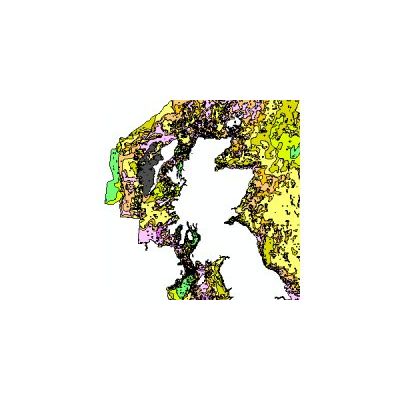
The purpose of this digital dataset is to provide accurate mapping of the distribution of sea-bed sediment types. Sea-bed sediments are mapped offshore, where the most recent deposits commonly form a veneer or superficial layer of unconsolidated material on the seabed. Their distribution and composition is determined using a range of remotely sensed and physical ground truthing data. The sediment divisions on the map are primarily based on particle size analysis (PSA) of both surface sediment samples and the uppermost sediments taken from shallow cores.
Sediments are classified according to the modified Folk scale (Figure 1).The modified Folk diagram and classification used by BGS differs from that created by Folk (1954) in that the boundary between “no gravel” and “slightly gravelly” is changed from trace (0.05%) to 1% weight of particles coarser than -1Ø (2mm). The boundaries between sediment classifications or types are delineated using sample station particle size analyses and descriptions, seafloor topography derived from shallow geophysical data and, where available, multibeam bathymetry, backscatter and side scan sonar profiles. This dataset can be used in conjunction with other BGS offshore datasets that include; DiGRock250k, DiGBath250k and the DiGHardSubstrate250k datasets.
