

Artelys Crystal - Version City -Decision Support Software for Territorial Energy Planning
At the time of the energy transition, local decision-makers are confronted with new issues of territorial planning, the energy dimension becoming a key factor in decision-making. Acting on energy consumption, reducing CO2 emissions, ensuring a coordinated development of distribution networks, enhancing the potential of local renewable production, are all challenges to be met in a context of increasing decentralization.
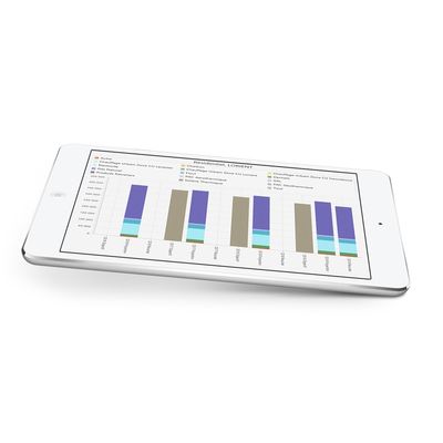
With the help of Artelys Crystal City, Grenoble Alpes Métropole was able to analyze the impact of action scenarios and bring out a concrete and concerted plan to reach ambitious goals by 2030.
-38%
Greenhouse gas
-50%
Nitrogen oxides
-60%
Particles
+35%
Renewable and recovery energy
-22%
Energy consumption
Analysis of the territorial energy system
Modeling energy data of the territory
Ergonomic data mining features in Cartographic & Graphical format
Calculation of parameterizable indicators allowing the analysis of the energy options of the territory
Support to the consultation
Simulation of action scenarios
Definition of scenarios based on the combination of easily parameterizable unit actions
Multi-scenario management system
Techno-economic simulation of system operation and recalculation of evaluation indicators
Track, drive, coordinate
Follow the evaluation of the territory after the implementation of the actions
System for updating the data measured on the territory
Tracking of PCAET actions
Model competitions and complementarities between energies
Evaluate flexibility solutions: smart grids, electric vehicles, intermittent renewable generation, storage, etc.
Evaluate the energy balance of the territory and its networks
The energy chain based on a model of useful energy consumption, allows to act directly on consumer uses
Work on a geographic grid that is fine enough to be able to analyze the acts and their impacts at the scale of the territory
Build territorial energy scenarios, to be evaluated according to techno-economic and environmental criteria