

ArcGIS - Version Pro -Desktop Geographic Information System (GIS) Software
The world's leading GIS software. The world's leading desktop GIS software. Unlock the value of spatial data. ArcGIS Pro is the premier desktop geographic information system (GIS) application. Crafted with user-driven innovations, it offers unparalleled tools and capabilities that support your work. Users can maintain spatial data effectively; generate stunning 2D, 3D, and 4D visualizations; and conduct advanced mapping analytics. The seamless data sharing within the ArcGIS system fosters valuable GIS solutions and insights.
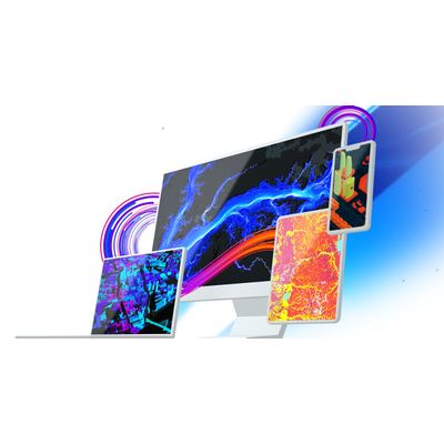
Featuring a robust set of capabilities, ArcGIS Pro allows you to visualize, analyze, and share projects with your team or anyone around the world.
Transform data into maps and actionable information
Combine multiple data sources to make maps that are as smart as they are beautiful. Use scientific analytical tools on 2D, 3D, and 4D data to identify patterns, make predictions, and answer questions. Quickly share projects and information within your organization, online, and through mobile apps.
- Exploration and Visualization
- Cartography and Design
- Imagery and Remote Sensing
- Analytics and Data Science
- Data Management
- Share Your Work
- Customize and Create
- Launch New Capabilities
Using 3D exploratory analysis, investigate your data by interactively creating graphics and editing analysis parameters on-the-fly. Interactive GIS tools help you to create analytical objects by clicking on the scene or using input source layers. Manipulate analysis parameters and receive real-time visual feedback.
Integrate data from multiple sources
ArcGIS Pro seamlessly integrates tabular data, drawings, cloud data warehouses, and more, ensuring the inclusion of various datasets and formats.
Visualize your data
Display data in 2D and 3D simultaneously. Manage multiple maps and layouts in a single project-based workflow.
Edit and analyze your data
Simplify data editing and analysis with context-sensitive tools. Perform interactive 2D and 3D analysis. Automate work with ModelBuilder or Python.
Share your work with the world
Publish maps and analysis results as web services or high-quality prints. Share maps and data on ArcGIS Online, ArcGIS Enterprise, or as a package.
ArcGIS is the definitive solution for managing geospatial data, featuring a comprehensive set of capabilities, apps, and tools for drawing insights from location information. ArcGIS Pro is the world's leading desktop GIS software accessible through user types that align capabilities to team roles, enabling you to streamline, connect, and scale across your organization.