
NV5 Geospatial Solutions, Inc.
ENVI - Image Analysis Software
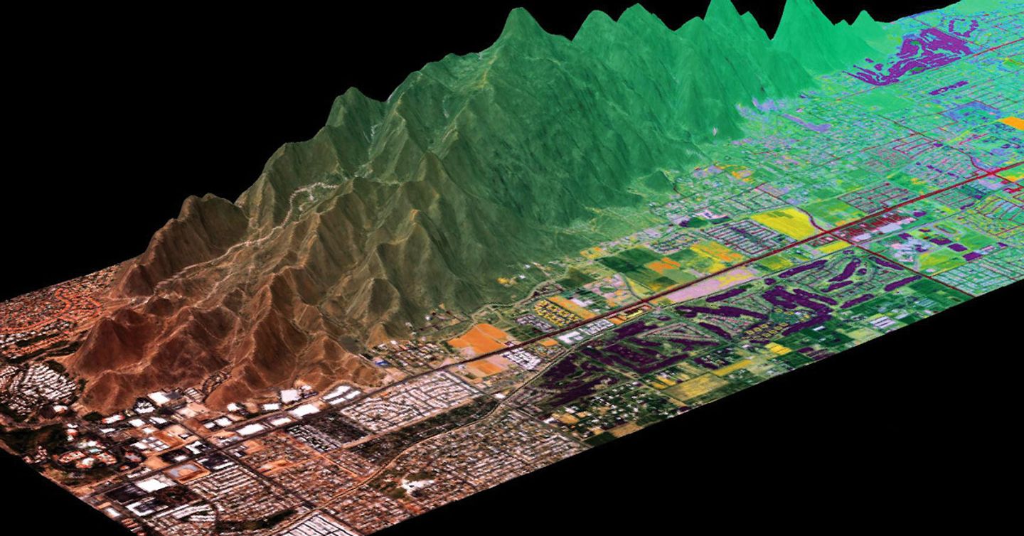
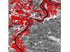
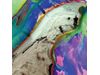
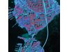
ENVI image analysis software is used by GIS professionals, remote sensing scientists and image analysts to extract meaningful information from imagery to make better decisions. It is the industry standard for image processing and analysis, used to extract accurate and timely information from remotely-sensed data. ENVI can be deployed and accessed from the desktop, in the cloud and on mobile devices, and can be customized through an API to meet specific project requirements.Most popular related searches