

Esri Defense Mapping
Esri Defense Mapping allows defense industry users to produce and maintain high-quality topographic databases and cartographic products. It provides a platform for efficiently managing production workflows and foundation data used for defense topographic products and analysis.
Esri Defense Mapping includes data management and editing tools, quality assurance/quality control (QA/QC) processes, simplified cartographic tools, and several defense-specific geodatabase models. These resources help solve the challenges faced by defense mapping agencies and contractors that need to produce standardized databases and maps in a consistent and efficient manner.
With Esri Defense Mapping, you can
- Reduce the time needed to compile and manage defense data and maps.
- Capture and distribute best management practices throughout the organization to ensure data consistency from site to site.
- Simplify the production and publication of your maps using the included library of cartographic symbols and map templates.
- Implement in-process quality assurance by leveraging relational geodatabase models, extended attribute validation rules, and automated geometry validation.
- Efficiently perform database maintenance, quality control, and high-quality cartographic output for defense-specific products.
- Standardize cartographic production with efficient map series design and layout tools, rule-based symbology, and cartographic editing tools.
Data Models
Esri Defense Mapping includes many geodatabase models specific to the defense industry:
Multinational Geospatial Co-Production Program (MGCP)
- TRD2.0
- TRD3.0
Defense Installations and Environment
- United States Air Force (USAF) GeoBase CIP
- United States Marine Corps. (USMC) GEOFidelis CIP
Theater Geospatial Databases (TGDs)
- Global
- Strategic
- Tactical
- Urban
- Image City Maps (ICMs)
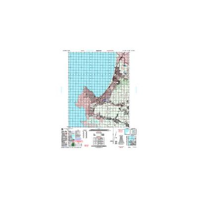
- Vector Map (VMap) Level 2 1:50,000-scale Topographic Line Map (TLM) cartographic products
- (VMap) Level 1 data and 1:250,000-scale Joint Operations Graphic–Air (JOG–A) cartographic products
Map Series
- VMap Level 0
- VMap Level 1 and 1:250,000-scale JOG–A cartographic products
- VMap Level 2 and 1:50,000- and 1:100,000-scale TLM cartographic products
- Urban Vector Map (UVMap)
Geospatial Intelligence Feature Database (GIFD)
- Vmap2TLM D4
- GIFD D4
- Digital Feature Extraction Guide (DFEG)
- Foundation Feature Data (FFD)
- Vector Interim Terrain Data (VITD)
Data Production
- Schema creation and management—Create data repositories with automated tools and defense data model templates that support numerous data model specifications and model versions.
- Legacy data loading and migration—Use automated tools and templates for common data migrations to support the planning, testing, and execution of data loading operations into and between various data model specifications.
- Feature extraction—Leverage specification-driven geometry and attribution tools to implement in-process quality assurance in the production environment and reject the creation of noncompliant data.
- Cartographic finishing and product generation—Produce defense-specific map and data products quickly through a suite of database-driven production and cartographic finishing tools.
Data Management
- Streamlined data replication—Automatically synchronize changes between sites, teams, or external data partners and cooperators using replication tools.
- Data quality and compliance testing—Assess the quality and fitness of data products using both commercial off-the-shelf and integrated government off-the-shelf quality control tools to ensure compliance with published data model specifications.
Workflow Management
- Workflow and resource management—Automate workflows, conduct resource leveling, and track work execution to improve efficiencies and ensure repeatability of data management activities.
- Integration of tasks—Capture, distribute, and automate best practices and procedures among data production staff to enhance efficiency and quality across the organization.