

Esri Geoportal Server
Esri Geoportal Server is a free, open source product that enables discovery and use of geospatial resources including datasets, rasters, and Web services. It helps organizations manage and publish metadata for their geospatial resources to let users discover and connect to those resources. The Geoportal Server supports standards-based clearinghouse and metadata discovery applications.
With Esri Geoportal Server, you can
- Reduce time and redundancy of data production by connecting geospatial data and service producers with consumers.
- Maintain data integrity by allowing organizations to easily share the authoritative version of data among its users.
- Enable easy search and discovery of existing geospatial data and services by allowing users to create and manage descriptions of their geospatial resources and supporting easy-to-use, sophisticated, data discovery technologies.
Esri Geoportal Server was released under the Apache 2.0 license, which allows developers to freely customize and redistribute the software.
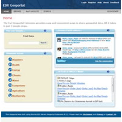
Esri Geoportal Server helps you build and administer a geoportal Web site where data producers can register their geospatial resources for users to discover and consume. The geoportal does not duplicate these resources but stores and catalogs the metadata of the resources as well as the information to access those resources.
Data Cataloging
Geoportal inventories all the metadata of the registered geospatial resources in a geoportal catalog service, which is an Open Geospatial Consortium (OGC) compliant CS-W 2.0.2 service.
Geoportal Administration
Geoportals help you maintain the quality, currentness, and availability of registered resources by providing tools to evaluate new entries, control access to metadata and resources, and integrate the geoportal with other enterprise systems.
Data Publishing
Data producers publish their resources to the geoportal by registering the resource`s metadata with the geoportal`s catalog service; supported resources include datasets, analyses, tools, and Web services. Geoportals include simple tools for generating and registering metadata. Publishers can directly create metadata in the Web application, upload their existing metadata to the geoportal, or allow the geoportal to autogenerate metadata.
Data Discovery
Geoportals provide an easy-to-use interface for users to discover and access resources registered with the geoportal to use in their own projects. They can trust that they are using the most current, best quality resources available.
Software
- Geoportal Web application
- Catalog service
- INSPIRE-compliant discovery service
- Customizable metadata profiles
- Configurable search engine
- Federated searching
- CS-W clients for ArcGIS
- Publish Client
- Ontology Service
- OpenLS Connector for ArcGIS for Server
- WMC Client for ArcGIS