

farmB Digital Agriculture S.A.
farmB - Version farmB.sat -Satellite Data Processing Module
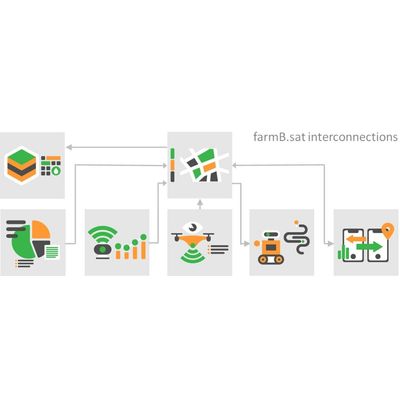
farmB.sat module is your eye from space, offering satellite data at plot level. The process is fully automated, from data retrieval to processing and visualization. A step beyond single dimensional reporting of indices, farmB.sat generates user-preferable zones, paths, areas, and prescription maps to serve the field workflow
Most popular related searches
- View automatically updated satellite imagery at plot-level
- Assess vegetation indices (NDVI, SAVI, EVI etc.)
- Generate customized in-field management zones
- Exploit different methodologies and visualization options according to your needs
- Compile fertilization and other variable rate application files