

FlyPlan - Flight and Bathymetric Mission Planner Software
FlyPlan is a unique mission planner software, the perfect tool for planning your drone missions (aerial and bathymetric).
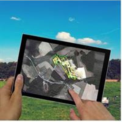
This software allows you to prepare, plan and monitor your various missions. Flyplan mission planner is part of the professional software suite for drone photogrammetry proposed by Hélicéo.
FlyPlan can automatically calculate the trajectory of your drone mission with an aerial base map. It calculates the accuracy of your work based on the altitude of the aircraft and the forward and side overlap of the photos. Information about the photos taken by drone as well as flight data are updated live (battery information, flight times, quality of GPS reception, real-time monitoring of the mission).
After taking off, the drone carries out its mission and lands automatically. You only have to import the data into the GNSS processing software to correct and enhance your accuracy. Then process all the data in Pix4D, Micmac or other photogrammetric software.
Professional training in the use of FlyPlanIn the Hélicéo training center, we will help you learn to master the flight planning software, allowing you autonomy in the field. Under the supervision of our instructors and experienced pilots you will receive training in all stages of preparation of your drone missions.
Discover our drone training servicesIn order to master the optimal use of aircraft in accordance with the regulations, you will be trained on real, operational civilian drones, multirotors (Fox4 Fox & 6), airplanes (Slim Foxy, Foxy Pro) as well as on our bathymetry vehicle (FoxBathy), all of which were designed for any kind of mission.