

GIS Asset Management System Integration Software
Your Goal: Real-Time Visualization of Assets. When your city owns thousands of assets, it takes tight coordination to keep everything in working order. Your field teams juggle a never-ending list of work orders, visual reports and maintenance tasks—plus occasional emergency repairs. To stay efficient, they must locate assets quickly, view their condition, establish their rating, enter work orders on demand, and upload reports in real-time.
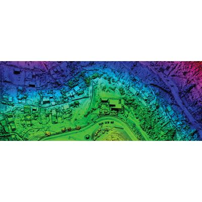
It’s all possible with geographic information system (GIS) integration. With a GIS-centric asset management system, your field teams can access critical geographic data instantly. They can see patterns, trends and relationships that prevent small problems from becoming larger issues. They can also use visual mapping to better plan their work routes, avoid wasted trips to the office, and maximize daily productivity.