
- Home
- Companies
- TatukGIS Sp. z o. o.
- Software
- TatukGIS - GIS Developer Kernel for ...


TatukGIS - GIS Developer Kernel for ASP.NET
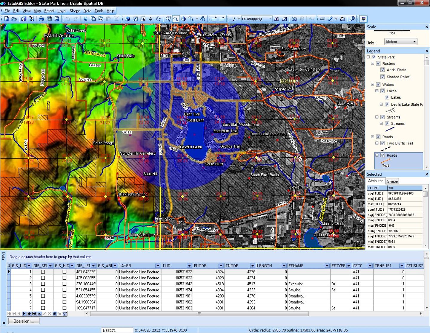
GIS library (SDK) for developing professional web GIS applications for hosting on Windows, Linux, and macOS servers (including Docker). This SDK is compiled natively for both ASP.NET Core and Web Forms.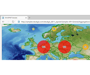
A managed code .NET GIS SDK for developing professional web GIS applications for hosting on Windows, Linux, and macOS servers (including Docker). The SDK is designed and compiled natively for ASP.NET Core (MVC and Razor Pages) and Web Forms.
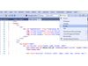
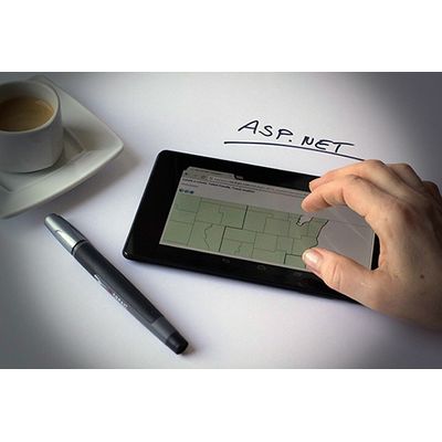
Support for HTML5 technology offers smooth, multi-touch compatibility with leading web browsers (Safari, Firefox, Chrome, Edge, Opera) on desktop and mobiles. An included JavaScript API enables rich customization of the client-side map experience including drawing, basic styling, editing, tracking layers, and access to REST services. HTML user control utilities can access the Leaflet JavaScript library to expose further functionality such as smooth tiles to automatically project locally hosted maps to the coordinate system of a tile server. The SDK can publish REST/WFS/WMS services.
Deploying a developed application to a production server, including cloud services like Amazon AWS or Microsoft Azure, is a simple 'copy file' deployment. Support for geospatial data formats is extensive, including advanced spatial databases.
The DK for ASP.NET edition features essentially the same comprehensive, object-oriented API and extensive geospatial functionality as TatukGIS SDK editions designed for other development platforms, except for differences required by the different technologies. The similarity across SDK editions means application logic can be easily reused between desktop and web applications.
Like alll TatukGIS products, the SDK agnostically supports most geospatial industry data formats. Native support for more than 70 data formats is compiled into the SDK library. Dozens more formats are supported via external drivers. Advanced spatial databases such as PostGIS, Oracle Spatial, MSSQL Spatial, etc. are supported.
Licensing is per developer, with no server deployment royalties or run-time fees.