

Graphical Planning and Information System for Urban Sewer Systems
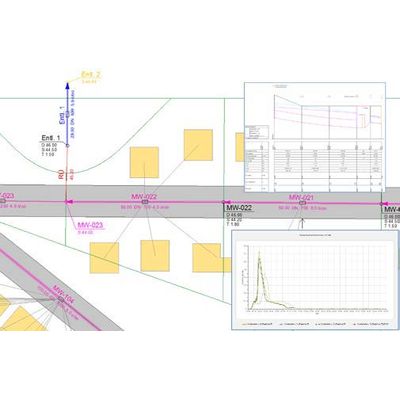
GIPS develops the CAD application AutoCAD® into a powerful information and planning tool for urban drainage projects. It is used to visualize, design and analyze urban sewer systems. It allows data representation on different layers and supports several view options (horizontal plan view, profile view, time series plots). Special functions are available that perform time-consuming tasks automatically as e. g. the definition of catchment areas, area data calculation and the generation of coarse models.
GIPS and the hydrodynamic simulation program HYSTEM-EXTRAN share the same database for data management. GIPS imports several simulation result file formats and visualizes the results. Results from a LANGZEIT long-term serial simulation can be used to generate surcharge and flooding maps.
As a matter of fact, GIPS offers:
- User-defined configurations for all objects
- Profile views with related junctions, intersecting pipes and background profile views
- Import and processing of special profiles
- Special “Find” functions and plausibility checks.
GIPS can be expanded by GipsOI which allows to visualize the data of CCTV inspection of a sewer system and the resulting classifications within GIPS. Thus, drainage engineers can easily analyze, by means of the different thematic maps, the hydraulic and the structural state of the respective sewer system.
GIPS is available with a slightly reduced feature set, called GIPS-Light.