

EarthWorks - Ground Infrastructure Assessment Software
Assess underground moisture conditions for multiple applications. ASTERRA EarthWorks Rail provides visualized soil moisture assessments for railway infrastructure and surrounding rights-of-way. EarthWorks Rail creates a mapped view of the actual moisture itself as it gathers beneath the railbed and surrounding land.
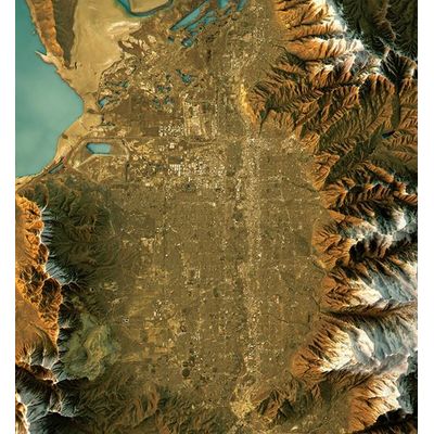
EarthWorks can assess underground soil moisture conditions across vast sections of track and rail system rights-of-way simultaneously, up to 325,000 hectares, with frequent temporal coverage allowing change detection over time. It points out areas of concern and potential failure locations so that immediate and long-term problems can be found, and preventative repairs made, before more expensive damage and safety issues occur.
EarthWorks gathers data via an orbiting satellite and a highly sensitive radar band that reflects off underground moisture, and once it is processed with ASTERRA patented algorithms, it provides a data layer revealing the areas of relative soil moisture content levels.
EarthWorks gives ground engineers a capability they have never had before: the ability to see — instantly and over an expansive area — where moisture is accumulating beneath and around critical ground infrastructure. Penetrating to a depth approximately 10 feet, EarthWorks sees through concrete, macadam, and treetops, and through all light and weather conditions to gather its insights. Planners and engineers can make decisions and initiate repairs using complete information, and before more extensive damage occurs.
The deliverable is a contour map with the colors and contours representing percentages of soil moisture. It is delivered as a GIS (Geographic Information System) file for viewing through all GIS platforms. As with all products, they are delivered to a customer through the ASTERRA customer portal website.
- Satellite data and images are acquired
- Data is analyzed by our patented algorithm
- Soil moisture maps and analysis are provided to the customer, identifying areas of potential concern
Owners and managers of large property installations use EarthWorks Property to locate and evaluate underground moisture beneath parking lots, roadways, sidewalks, and other paved surfaces. Potential and likely failure locations are mapped out so that owners can mitigate problems before more severe and expensive damage occurs.
Rail system engineers, operators, and rail service providers use EarthWorks Rail to locate and evaluate underground moisture beneath the railbed and within the rail system rights-of-way. Potential and likely failure locations are mapped out so that they can mitigate problems before more severe and expensive damage occurs.