

RMSI Private Limited
India FloodRisk - Comprehensive Flood Risk Assessment Software
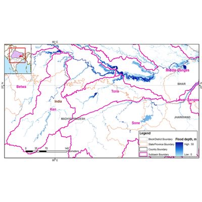
RMSI’s India FloodRisk™ provides comprehensive flood risk assessment for the entire country covering 19,000+ pincodes. India FloodRisk™ is a probabilistic flood risk model for 51 major urban agglomerations with significant flood risk accumulation along with modeled flood risk scores for the rest of the country with medium and low risk accumulation.The model integrates a visual map interface that makes it easy to understand and apply analysis. Probabilisitic flood risk model for 51 urban agglomerations and flood risk scores for rest of the country.
Most popular related searches
flood risk assessment
flood risk
risk assessment
flood risk modeling
probabilistic risk modeling
risk modeling
risk assessment software
flood modeling
land use
river flow
Countrywide Coverage
- Comprehensive countrywide flood risk assessment
- Pan India 19000+ pincodes covered
- Probabilistic risk model for 51 high risk accumulation urban agglomerations of the country
- Modeled flood risk scores for all other regions of the country
Most Accurate Up-to-date Data
- Exposure data based on 2009/2010 land use/land cover at five meter resolution
- Comprehensive river flow data spanning 50 years and historical rainfall data spanning 109 years
- High resolution Digital Elevation Models (DEM) ranging from (10 to 90m)
- Vulnerability functions / loss models developed specifically for India based on field studies for 2009 Andhra Pradesh, 2006 Surat and Vadodara, and 2005 Mumbai flood events