

JT - Version ASYS -Automated SYStem for the 3D Documentation of the Pipe Networks
ASYS is a system designed to acquire and record the underground pipe networks. It has been developed by JT-elektronik GmbH in cooperation with partners University of the Bundeswehr Munich, PPMsys (Pipe Positioning System) UG and bluemetric GmbH. ASYS distinguishes itself from common systems based on the transmitter-receiver principle, which are subject to numerous external disturbances that cause large position errors.
The different sensors and complex processing algorithms integrated in the camera system „Lindauer Schere” enable ASYS to precisely register each horizontal and vertical change of the position in the course of the inspection. The camera movements in 3D space recorded by the sensors as well as the distance information are used as input data by the ASYS processor for computing the 3D (XYZ) coordinates. The recorded coordinates are used to build the pipe geometry and other objects of interest. ASYS does neither estimate the angles between pipes nor pipe bends. It is a measurement system.
The sensor calculates the angles based on the camera movements and the algorithms always output the exact course of the pipe. Also several pipe direction changes in the bends and height are ideally calculated
The different sensors and complex processing algorithms integrated in the camera system „Lindauer Schere” enable ASYS to precisely register each horizontal and vertical change of the position in the course of the inspection. The camera movements in 3D space recorded by the sensors as well as the distance information are used as input data by the ASYS processor for computing the 3D (XYZ) coordinates. The recorded coordinates are used to build the pipe geometry and other objects of interest. ASYS does neither estimate the angles between pipes nor pipe bends. It is a measurement system.
The sensor calculates the angles based on the camera movements and the algorithms always output the exact course of the pipe. Also several pipe direction changes in the bends and height are ideally calculated and recorded in the flexible mode. Approx. 100 measurement values each second are guaranteed in real-time.
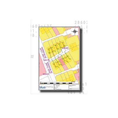
The measured pipe network can georeferenced in the given land or state coordinate system and therefore allowing direct transfer of the data into any compatible CAD or GIS software. Different data formats like ESRI Shape, DXF, ASCII, XML are supported.
- Real-time locating and recording, as well as documentation of the entire drainage system in the property area
- Measuring – NO ESTIMATING – of bends and branching
- Lower time consumption and work expenses through the 3D recording of the pipe layout during the inspection
- Pipe documentation is a prerequisite for the quality maintenance of property drainage systems and the sanitation planning
The software modules geoASYSbop and ASYSbop (bop = based on planet) are based on the system basis planet and have a standardized user interface.
ASYSbop is the continuation of the software version LP-ASYS with further additional features.
Additional to the LP-ASYS-features ASYSbop offers the following new features and enhancements:
- Implements a scalable and high-performance framework called planet
- Extended project management
- Easy handling of several house connection pipes in a single project, etc.
- Improved support for integrating back ground maps
- Extended to support several data formats
- Efficient map data import and scaling, etc.
- Transformation of Measured Pipe Network after the measuring process
- Extended print layouts
- Creation and management of print layouts using templates and print editor.
- Support common GIS Data Formats (e.g., ESRI Shape) and CAD Formats
- Extended Export Formats (e.g., JPEG, M150, ISYBAU XML)
- Possibility to break and continue a measurement process
- Improved visualization of data in the map window
- Automatic generation of identification numbers for measured objects
A professional version of the ASYS products.
With geoASYSbop, the house or property connection pipes are automatically documented in a given land or state coordinate system of the main sewer network (e.g., Gauss-Krüger). This automatic georeferencing enables the acquired data (documented pipe network) to be directly transferred or exported into
standard geodatabases or common Geographic Information Systems (GISs) for later use, for example sewer network analysis and planning. geoASYSbop offers the following features and functionality:
- Direct import of background maps for manholes and main sewer pipes
- Direct acquisition and georeferencing of connection pipes in 3D (XYZ) in the system of the main sewer network
- Automatic generation of identification numbers for measured objects (w.r.t the ID-system of the source GIS)
- Continuation of a measurement process at a revision manhole in an already documented network
- Uses GEMASbop for optimal data exchange
- Export the drainage network in several formats (M150, ISYBAU XML, DXF, Shape, JPEG, PDF)
- Support direct transfer of data in comment GIS
- Support considerable GIS – Functionality
- Extended project management
- Import raster and vector data (e.g., DWG, orthophotos, cadastral maps)
- Customizable print layouts
- Support measurements direct from a manhole
- Support 3D Visualization
- Support generation of long-section profiles
- Editing functions