
Verisk

3D Visual Intelligence - Land Insight and Land Usage Statistics Software
FromVerisk
3D Visual Intelligence specialises in delivering land insight, property data and land-use and statistics to help organisations understand the use and characteristics of their area of interest. Our product delivers the UK land use data that you need to make well-informed decisions.
Most popular related searches
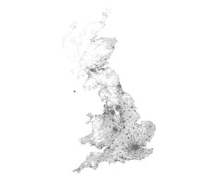
3D Visual Intelligence has a history of delivering consistent, national scale products classifying and mapping the land-use and land-cover of the UK. Our land-use products include:
- UKLand - Discover the use of land across the length and breadth of the UK, with land use mapping and statistics designed to help users understand large areas or regions. UKLand delivers a comprehensive view of how land is used in the UK, which is consistent and accurate.
- UKMap - Benefit from the most comprehensive and highly detailed view of land-use in the Greater London area. UKMap delivers unique land-use and land-cover information and statistics to support planning, design, development projects and site investigations in London.
Alongside our land insight products, we also maintain UKBuildings, which focuses on property characteristics and information regarding residential and commercial properties in the UK. Find out more below.
- UKBuildings - UKBuildings is a unique national database of building characteristics created by 3D Visual Intelligence to provide detailed information about individual buildings and understand the character of an area.
Our land-use data has been used by
- Consultancies
- Local Government
- Utilities
- Telecoms network operators and
- Land and property managers.