

Land IQ ET - Field-Scale Water Use Estimation Model
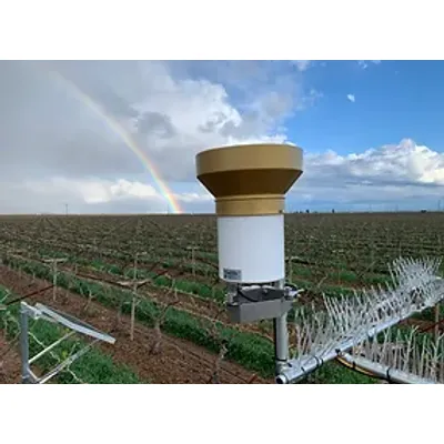
Land IQ ET is a data driven model that was developed for detailed, field-scale water use estimation. Water use estimation is calculated as evapotranspiration (ET), or the amount of water consumed by the plant through evaporation and transpiration. The model uses robust ground station data and direct image analysis to interpret image data.
The Land IQ ET model is differentiated from other models in the following ways. See the FAQs for more information on each item.
-
Data-driven
-
Field-level scale analysis
-
Ground truth data
-
Accurate and timely crop mapping
-
Remote sensing imagery
-
Integration of agronomic features of modern cropping systems
Land IQ ET was initially developed for use in the Semitropic Water Storage District (SWSD). Since 2016, in addition to SWSD, the organizations utilizing Land IQ ET has grown to cover over 3 million acres including:
-
Nearly 40 GSAs or Irrigation Districts
-
With 35 - 40 different crop types
-
Utilizing multiple water sources
Results are delivered in both report and web-based formats with all GIS and tabular results downloadable from the web tool. The web tool contains all fields, field boundaries, current crop mapping, coverages of field-by-field ET and precipitation, as well as a download link for all results and reports.