


Seequent - Version Oasis Montaj UXO Land -Magnetic and Electromagnetic Data Interpretation Software for Land-Based Site Investigation
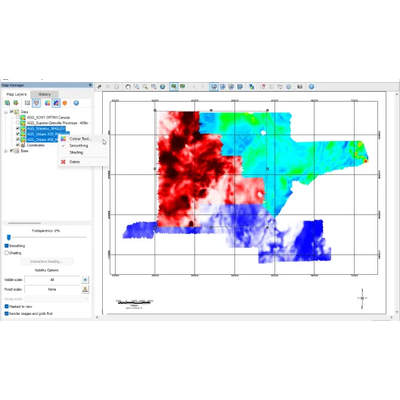
UXO Land is an Oasis montaj extension for land-based geophysical surveys. It helps geophysicists, survey teams, and project managers detect and interpret unexploded ordnance (UXO), pipelines, cables, and archaeological features. Designed for terrestrial conditions, it supports confident decision-making across infrastructure, heritage, and hazard-related projects.
Survey planning tools
Design and document surveys with tools tailored to land-based geophysical conditions.
Integrated workflow
Move from planning to target identification within a single, cohesive workflow.
Focused target analysis
Characterise UXO and other subsurface features with purpose-built interpretation tools.
Advanced detection technology
Adapt to new sensors and apply evolving processing methods to support advanced geophysical classification (AGC).
Quality control
Maintain data integrity with built-in checks across instruments, calibration, and survey data.
Proven in real-world projects
Used in defence, infrastructure, and heritage surveys where reliable interpretation is essential.