

SEABOTS
Mapping System
FromSEABOTS
Our team specializes in the setup and deployment of Unmanned Surface Vehicles (USV) for customized missions to gather high-value data, offering a turnkey solution to companies and agencies. We perform a safe, cost-effective and environmentally friendly solution to acquire ocean data through state-of-the-art processing and mapping.
Most popular related searches
unmanned surface vehicle (USV)
unmanned surface vehicle
marine data
hydrographic monitoring
environmental parameter
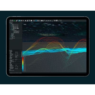
mapping system
environmental monitoring
environmental parameter monitoring
hydrographic
hydrographic map
- cost-effective
- no human risk
- sea-friendly
hydrographic surveys
Precision hydrography, which offers the possibility to identify specific objects or habitats.
data
harvesting
Big data collection to be combined and processed in 3rd party platforms
environmental heatmaps
Detect and monitor environmental parameters graphically and easily.
blue carbon quantification
Quantification of natural blue carbon stocks in coastal areas.