

An integrated asset, tenement, agreement, and environmental data management system that provides the mining industry with its exclusive and innovative technology.
LandTracker secures your company’s tenements by providing audited data that seamlessly integrates tenure compliance requirements into your organisation’s procedural processes.
LandTracker Enviro streamlines the management of key environmental regulatory approvals and compliance activities. Its customisable interface ensures your environmental risks are appropriately managed and adapted to your company’s unique requirements thereby improving your environmental performance.
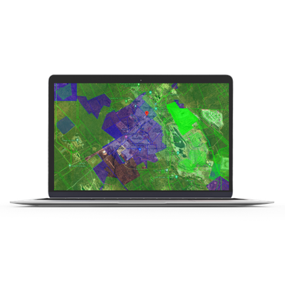
LandTracker Maps is a convenient, practical web application which enables you to see up-to-date details of all mining tenements across the whole of Australia.
This solution is provided free of charge and based on Google Maps, designed to work on your PC, tablet or mobile phone. It is loaded with details of mining tenements, updated daily from key government databases.
GeoSearch is a powerful land monitoring web-based GIS application designed to give you a competitive edge by identifying land as it becomes available across Australia for exploration, by monitoring tenement changes defined in areas of interest.
It provides up to the minute email alerts of newly available land by monitoring surrendered and withdrawn tenements and reporting on other tenement changes.