

- Home
- Companies
- KISTERS AG
- Software
- Kisters - Remote Hosting Software
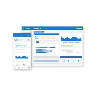
Kisters - Remote Hosting Software
Focus on your data while we operate and maintain your infrastructure with KISTERS secure cloud hosting for continuous data access and protection. KISTERS’ remote hosting service provides secure, reliable, and scalable IT infrastructure for managing environmental data. We protect your information with robust security measures, regular backups, and disaster recovery to ensure uninterrupted operations. Our cloud-based solutions are designed to simplify IT management, especially for organisations with limited in-house resources.
Get affordable access to ISO-certified services
ISO-level IT & infrastructure at a fraction of ownership cost
Safely access data from anywhere at any time
Use TLS And VPN to access high performing systems
Data confidentiality & integrity
Control list of authorised users & audit all activity
High performance via evergreening
We accurately align & evolve our ecosystem for efficiency
Maximum uptime & availability
Automated backups & updates are scheduled to prevent failure
When it comes to remote hosting, we follow a simple and straightforward process.
- Needs assessment
- System design
- Software installation & configuration
- User training & go life
- Technical support & data centre maintenance
Like many utilities, Pierce County had legacy databases of long-term hydrologic and water quality data that could not automatically migrate data from a variety of sources, verify data or make data easily accessible to users. Once effective systems were pushing 20 years. Servers and custom-built databases were no longer supported. Pierce County needed a system compatible with evolving technologies, which would also help maintain public safety, meet regulatory requirements and enhance public outreach.
Key Challenges:
- Integrate multidisciplinary datasets with varying time steps
- Calculate water quality & biotic indices and support python/R scripts
- Integrate with GIS infrastructure
- Empowerment to expand system without additional consulting fees
The neighbouring stormwater utilities of Snohomish County Surface Water Management (SWM) and Pierce County Planning & Public Works have implemented Water Information Systems KISTERS (WISKI) to provide employees with tools that support data-driven decisions. Peers are able to discuss and share best practices with the software and datasets.
Key Technical Specifications
- Collection and storage of both continuous and non-continuous data, including water quality sampling metadata associated with visits to 50 streams every month
- Easy ability to expand the storage system as needed, without incurring additional consulting fees
- Storage and analytical tools for biological assessments and surveys from macroinvertebrate and periphyton sampling events
- Automation of the import, correction and (preliminary) analysis on continuous hydrologic data
- Enable use of specialized tools to index water quality and macroinvertebrate data for use in long-term status and trend analyses may include, but not limited to, python, R or R Shiny
- Enhancement to reporting and public outreach efforts, with tools like a data portal and an annual Water Quality Report Card
- Integrate with ArcGIS IT infrastructure to help with watershed-level planning
WISKI allows county personnel to integrate biological, habitat, and water chemistry information in order to determine the overall health of the watershed in its jurisdiction. Using limited resources efficiently, county leaders are able to enhance decisions with the application of more scientific knowledge and transparency.
As more and diverse water quality data are collected, automated quality checks test new information streaming into today’s system, which automatically records all data transactions. A full audit log traces software users authorized to edit erroneous data points and why and when changes were made.
County environmental scientists and modellers who inform decision-makers face fewer distractions from data loss, silos or outdated technology. Analysts and engineers can focus their expertise on managing stormwater and watersheds to detect and respond to environmental threats. Links to GIS help trace illicit connections to the storm sewer system
Enhanced reporting is building closer partnerships to improve ecosystem health in the region: keeping pollutants out of shellfish beds, participating in salmon recovery efforts, and restoring waterways. Web portals publish quality-controlled information to help community-based monitoring volunteers and residents see water quality data in their neighbourhoods.