

SkyWatch - Version EarthCache -Software for Earth Observation Data
Pay-as-you-use access to Earth observation data from 400+ sensors; EarthCache offers the world`s largest virtual constellation of remote sensing data, with offerings from over 20 satellite, HAPS, and aerial providers.
Multiple providers
We provide a one-stop shop for remote sensing data, with instant access to the world`s largest network of satellite imagery providers.
Simple pricing
We normalize pricing across providers to eliminate the need to negotiate commercial terms and manage contracts with multiple providers.
Lower minimums
We`ve partnered with data providers to lower minimum area requirements, so you’ll pay only for the images that you use.
User-friendly
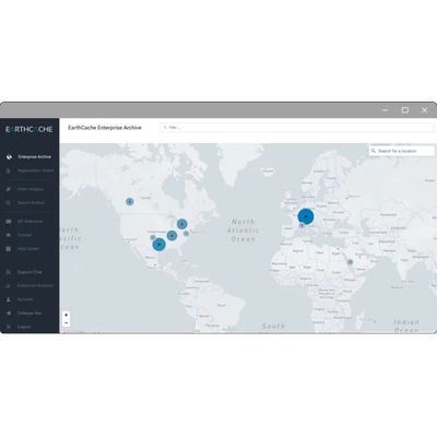
Purchase an image within minutes. Search our Archive for historical data, or task a satellite to capture new images of your area of interest.
1. Select your location
Select your area of interest by drawing a polygon on the map or uploading a KML or GeoJSON file. You can also search for specific locations or coordinates.
2. Choose your output
Satellite sensors can capture data that is not visible on images. Choose outputs such as true color, NDVI, and near-infrared.
3. Order your images
Filter by image resolution, date range, pipeline interval, and percentage of the visible surface. Set a budget limit and get a price estimate before you buy.