

FIND - Professional Mapping Intelligence
- Home
- Companies
- FIND - Professional Mapping ...
- Software
- FIND - Version 1:10 000 - Street View ...
FIND - Version 1:10 000 -Street View Mapping Software
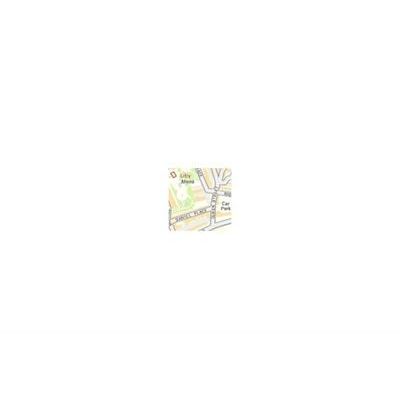
The Street view 1:10 000 raster map shows street-level detail and omits dense line work and field boundaries in favour of a clear and easy interpretation. This layer is free to view and export.
Most popular related searches
Features shown in Street view include:
- Road names
- Roads
- Railways
- Buildings
- Water
- Woodland
- Other vegetation features

Metadata
- Layer Information
- Data provider: Ordnance Survey
- Sample of data: Sample layered PDF
- Coverage area: Britain
Data currency
- Version date of dataset: June 2015
- Frequency of update cycle: Annual
Map screen options
- Viewable in map window: Yes
- Viewable between scales: 1: 4 001 - 1: 10 100
Print options
- Printable: Yes
- Printable between scales: 1: 2 000 - 1: 15 000
Export options
- Exportable: Yes
- Export formats: TIFF
- Maximum export size via internet: 10 000 hectares (100 km²)
Pricing
- Viewing: Free
- Printing: Free
- Exporting: Free
Saved project options
- Period layer saved for viewing (without incurring further costs): Perpetual
- Period print saved for (without incurring further costs): Perpetual