

FIND - Professional Mapping Intelligence
FIND - Version 1:50 000 -Town Base Mapping Software
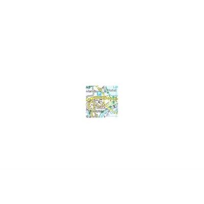
The Town map allows you to clearly identify roads, water features, important buildings and height contours. This map is particularly useful when analysing the regional context of a site, by overlaying it with layers from the Environmental Package. It provides a comprehensive base map ideal for environmental or geological analysis.
Most popular related searches
Metadata
- Layer Information
- Data provider: Ordnance Survey
- Sample of data: Sample layered PDF
- Coverage area: Britain
Data currency
- Version date of dataset: June 2017
- Frequency of update cycle: Annual
Map screen options
- Viewable in map window: Yes
- Viewable between scales: 1: 25 101 - 1: 65 000
Print options
- Printable: Yes
- Printable between scales: 1: 20 000 - 1: 100 000
Export options
- Exportable: Yes
- Export formats: TIFF
- Maximum export size via internet: 100 000 hectares (1000 km²)
Pricing
- Viewing: Free
- Printing: £1 fixed for 1 sq km. £0.06 per sq km thereafter
- Exporting: £10.00 fixed for 1-10 sq km. £0.10 per sq km thereafter
Saved project options
- Period layer saved for viewing (without incurring further costs): Perpetual
- Period print saved for (without incurring further costs): 12 months