

FIND - Professional Mapping Intelligence
FIND - Ultra View Aerial Photography Software
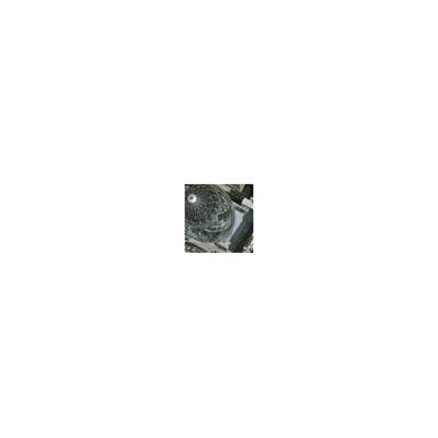
FIND provides over 24,000 high resolution aerial photographs within the M25 area. This is the highest true resolution imagery available of London, giving an unprecedented level of detail and clarity.
2006-2007 colour plan view 2.5 - 4cm high resolution photography
The ground coverage for each photo is approximately 450 x 300m. The 2.5cm aerial imagery resolution covers West London with ground coverage of approximately 280 x 180m per image. This means there is considerable overlap between each of the images which allows you to see a building’s facades.
Orthorectified Ultra View
FIND now features Ultra View imagery in orthorectified format. This is only available through our consultants.