

V-G - Version GT Map Standard -Geospatial Information Software
Geospatial information solution to manage facilities such as roads, water supply, and sewage Introducing GT Map Standard.
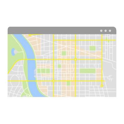
Web-based editing function
Provide powerful facility editing function.
Add a new facility at the clicked point or select an existing facility to edit and delete. Changed or incorrectly entered information is easily corrected and managed.
User based map
Create a map and manage for all administrative information based on address.
Create your own map simply and quickly by adding an Excel file or shape file containing addresses or coordinates to the map.
Share and Collaboration
Change way of work efficiently.
Share contents such as user-based maps, spatial analysis results, topic maps, photos/memos, etc. created by you to departments or colleagues and easily take over tasks when moving departmentss.