

- Home
- Companies
- Aeromao Inc
- Software
- Version Pix4DMapper - Photogrammetry ...
Version Pix4DMapper -Photogrammetry Software for Professional Drone Mapping
The leading photogrammetry software for professional drone mapping.
Capture
Capture RGB, thermal, or multispectral images with any camera.
Any camera. Any drone. Any imagery. As long as it’s a .jpg or a .tif.
Digitize
Pix4Dmapper’s photogrammetry algorithms transform your ground or aerial images in digital maps and 3D models.
Seamlessly process your projects on your desktop using our photogrammetry software, or bundle with Pix4Dcloud for online processing.
Control
Use the power of photogrammetry in the rayCloud environment to assess, control and improve the quality of your projects.
Use the quality report to examine a preview of the generated results, calibration details, and many more project quality indicators.
Measure & inspect
Accurately measure distances, areas, and volumes.
Collaborate & share
Streamline project communication and teamwork.
Selectively and securely share project data and insights, with your team, clients, and suppliers, using standard file formats.
Survey-grade results
Obtain results with sub-centimetre accuracy thanks to photogrammetric analysis. 1-2 pixel GSD in X, Y directions 1-3 pixels GSD in the Z direction
Complete control over your project
Define an area of interest, select processing options, add ground control points or edit point clouds, DSMs, meshes, and orthomosaics.
Your workflow, your choice
Use default templates for automatic processing of your projects, or create your own with custom settings for full control over the data and quality
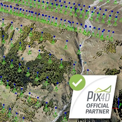
rayCloudtm
The power of photogrammetry software
A unique environment connecting your original images to each point of the 3D reconstruction to visually verify and improve the accuracy of your project.