
- Home
- Companies
- TK Consult AG
- Software
- Visualization / GIS Software
Visualization / GIS Software
Other software packages used are:
QGIS
QGIS is an Open Source Geographic Information System aimed to be a user-friendly GIS. QGIS supports a number of raster and vector data formats, with new format supports easily added using the plugin architecture. Our modelling software packages are compatible with QGIS.
SAGA
SAGA is a free open source System for Automated Geoscientific Analyses. It has been designed for an easy and effective implementation of spatial algorithms and offers a comprehensive, growing set of geoscientific methods and an easily approachable user interface with many visualisation options. Our modelling software packages are compatible with SAGA.
STRING
STRING is a tool for an intuitive and interactive visualization of transient vector fields. STRING reads the results of our calculations and generates customized animations of particle trajectories. This finite element-based software was developed by our german colleagues in delta h. The right panel displays the animation of the solution to the Elder problem.
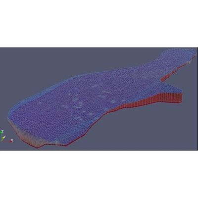
Tecplot and Paraview
Tecplot and Paraview are multidimensional pre- and post-processors. Amongst their main capabilities, they allow us to animate outputs, generate accurate plots of flood areas, 3D representations of tunnels, cavities, etc.