
- Home
- Companies
- Sofar Ocean
- Software
- Wayfinder by Sofar - Voyage ...

Wayfinder by Sofar - Voyage Optimization
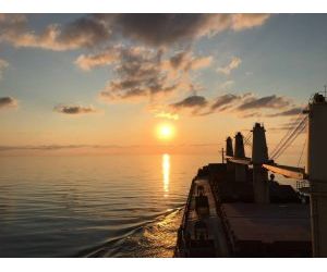
Dynamic, data-driven voyage optimization using the world`s best weather forecasts. Powered by the largest ocean weather sensor network, Wayfinder delivers real-time, personalized vessel route optimizations. Increase efficiency, save on fuel and costs, and reduce emissions.
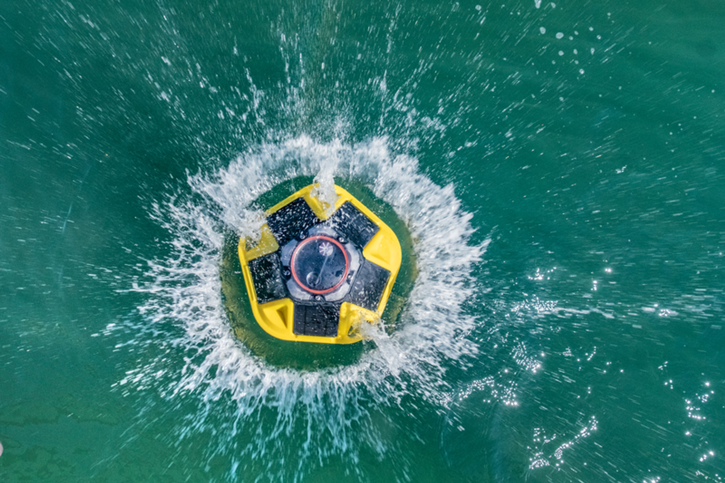
Wayfinder is powered by the best marine weather forecasts, which we produce using our expansive network of sensors distributed across all five oceans. Each day, this network collects over 200,000 data points, real-time observations of waves, wind, currents, and other vessel resistance factors. We assimilate this data into our weather models — along with all available satellite and in-situ data — to produce forecasts that are 40% more accurate than those of leading government centers. More data, less uncertainty, better outcomes.
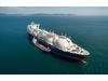
Wayfinder’s data-driven Vessel Performance Model (VPM) acts as a digital twin of your vessel. The model uses a ship’s current physical condition and our marine weather forecasts to accurately predict vessel speed, RPM, and fuel consumption for any sea state encountered. Wayfinder incorporates actual performance data and real-time weather observations to dynamically recalibrate the model.
Wayfinder’s optimization engine considers hundreds of millions of options before proactively delivering the most efficient route. Speed, RPM, and waypoint recommendations are delivered daily and optimized for the fuel cost, time cost, safety, emissions, and/or charter party constraints that you provide for your vessel. Using our best-in-class marine weather forecasts, Wayfinder automatically anticipates the need to slow down, speed up, or change course, ensuring that your vessel always stays on the most efficient path to port.
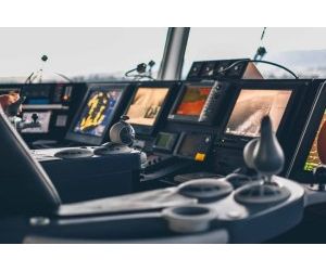
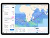
Wayfinder leverages our best-in-class marine weather forecasts to provide timely safety recommendations, which limit a vessel’s exposure to heavy weather, prevent structural wear and tear, and safeguard crew and cargo. Seakeeping models issue alerts for synchronous roll and other unwanted vessel motion, while adjustable weather map layers and our Spotter buoy network — both are displayed in-app — provide unprecedented situational awareness.