

GISCourse by TYC GIS Group
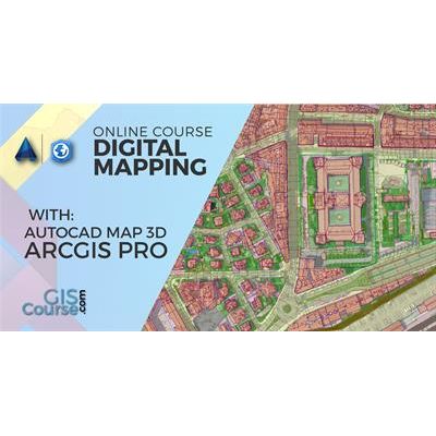
Digital Mapping with ArcGIS Pro and Autocad Map 3D Course – Online GIS Training
Apart from learning how to use ArcGIS PRO and Autocad Map 3D separately, the course will concentrate on data migration possibilities between these two software. Students will learn to select the most adequate solution in their GIS projects, depending on the nature of their data and project needs. The course is divided in three parts: Part I – Introduction in ArcGIS PRO. The training material will be focused on vector and raster data models, their relationship within a geodatabase and on how to develop final cartographic products and maps. Part II – How to migrate GIS data to CAD through the advanced use of a geodatabase. Part III – AutoCAD Map 3D, introduction to AutoCAD, from basic concepts about how this software works, to the creation and editing of objects, the use of geospatial tools and the generation of maps.Most popular related searches
online training
geographic information system
ArcGIS
geospatial tool
GIS training
geographic information
GIS data
geospatial
Enrolled students in this online course will have access to our virtual e-learning platform (which is available 24 hours), where they will find the content of the course, practical exercises, forum discussion and additional content. One of the advantages of this online platform, is that students can benefit of real time support and assistance offered by the instructor (2 hours per week), whom they can contact via direct messages, regarding course related issues, at any moment. They can also contact the instructor via email.
- Highlight the importance and utility of a Geographic Information System (GIS), its integration and applicability in a variety of professional sectors.
- Learn about the new ArcGIS Desktop release, ArcGIS PRO.
- Learn about AutoCAD key tools for designing basic and complex drawings, in order to create plans.
- Understand all the essential concepts needed for an advanced use of ArcGIS PRO, together with AutoCAD.
- Manage correctly vector information and elaborate complex spatial analysis with the help of geoprocessing tools.
- Integrate AutoCAD Map 3D with ArcGIS PRO and combine the geospatial tools provided by both software.
- Acquire the knowledge and gain experience in data preparation, layout development, map creation and high quality products delivery.