

GISCourse by TYC GIS Group
- Home
- Companies
- GISCourse by TYC GIS Group
- Training
- QGIS Course, Route Analysis, finding ...
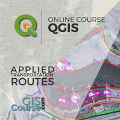
QGIS Course, Route Analysis, finding the shortest path – Online GIS Training
The objective of this course is to initiate the student in route analysis using QGIS. The training material approach also information about: geoprocessing tools, mapping basic concepts, performing spatial analysis. Two additional modules: Introduction to Relational Databases with PostGIS/PostgreSQL and Programming using Python are included.Most popular related searches
Enrolled students in this online course will have access to our virtual e-learning platform (which is available 24 hours), where they will find the content of the course, practical exercises, forum discussion and additional content. One of the advantages of this online platform, is that students can benefit of real time support and assistance offered by the instructor (2 hours per week), whom they can contact via direct messages, regarding course related issues, at any moment. They can also contact the instructor via email.
- Highlight the importance and utility of a Geographic Information System (GIS), its integration and applicability in a variety of professional sectors.
- General overview about the basic skills needed in QGIS and GRASS GIS handling and essential concepts used by a GIS system.
- Learn about GIS key tools in an appropriate and professional way, usage of vector and raster data information in order to develop complex spatial analysis.
- Find about all possible difficulties which you may encounter in the execution of GIS projects, and their solutions through practical exercises.
- Gain experience in data preparation, layout development, map creation and high quality products delivery.
- Start programming with Python and develop your own complex tools to facilitate your work.