
- Home
- Companies
- GISCourse by TYC GIS Group
- Training
- Using Python with ArcGIS (Advanced ...
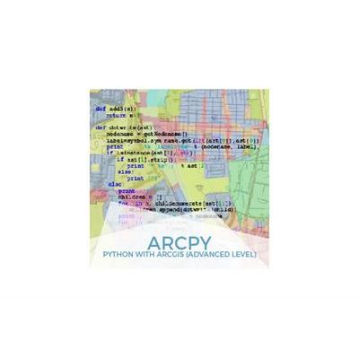
Using Python with ArcGIS (Advanced Level) - Online GIS Training
The course will train students in the advanced use of Python programming language along with ArcGIS Desktop collection software on: process and tasks automation, vector and raster analysis, map generation and publication, geoprocessing model creation, etc. The student will be trained in the advanced use of Python programming language, will learn how to create Add-ins or how to build custom UI tools for ArcGIS (ArcMap). Advanced vector and raster analysis using Python will also be included in the training process.
Enrolled students in this online course will have access to our virtual e-learning platform (which is available 24 hours), where they will find the content of the course, practical exercises, forum discussion and additional content. One of the advantages of this online platform, is that students can benefit of real time support and assistance offered by the instructor (2 hours per week), whom they can contact via direct messages, regarding course related issues, at any moment. They can also contact the instructor via email.
- Learn how to build custom UI (user interfaces) for ArcMap using Python Add-ins.
- Familiarize with the ArcPy objects and libraries in order to perform complex spatial analysis.
- Gain knowledge about spatial data management using integrated ArcPy libraries.