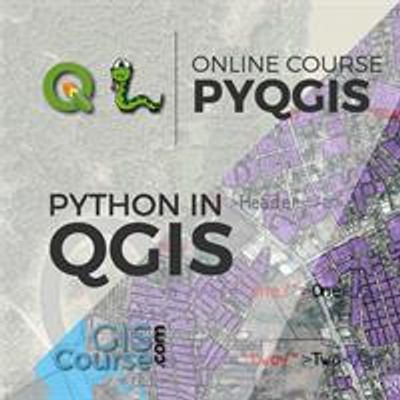
During this course, the students will be able to expand their capabilities in QGIS, using Python programming language. They will learn to develop Python scripts using pyQGIS in order to automate workflows and geoprocesses (such as loading data, different spatial analysis, development of cartographic products, publishing maps online).
The course aims to train the students in the usage of QGIS along with Python programming language and in the development of scripts with pyQGIS, aiming to improve and rush existent user interface workflows, for better results and performance.