
3vGeomatics software
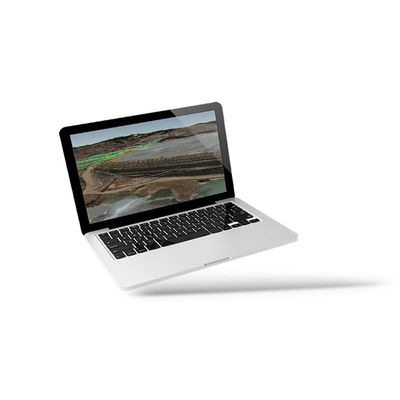
Displacement DataStream
Displacement DataStream is the latest advance in InSAR processing that represents a new class of early risk identification. Displacement DataStream is 3vGeomatics’ advanced satellite InSAR monitoring service that rapidly updates displacement measurements after each new image acquisition.
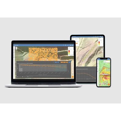
Motionary - Web-Based Data Delivery Platform Software
Motionary is 3vGeomatics’ web-based data delivery platform for easy data visualization of displacement information. Motionary provides access to results stored on the cloud, as well as tools for visualizing them in a GIS-like environment. Colour-coded points and raster information are superimposed on an optical image and an elevation model of choice. These can be viewed in 2D or 3D.
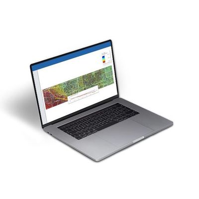
Historical Analysis Software
Radar satellites have been collecting images around the globe since the early 1990’s. Urban and rural locations worldwide have archive data available for InSAR analyses. Contact us using one of the options below and work with our team to understand what data is available for your project site.